본문 바로가기
?

단축키

Prev이전 문서

Next다음 문서

크게 작게 위로 아래로 게시글 수정 내역 댓글로 가기 인쇄
?

단축키

Prev이전 문서

Next다음 문서

크게 작게 위로 아래로 게시글 수정 내역 댓글로 가기 인쇄

친구랑 가볍게 조깅을 한곳인데 경치가 너무 멋있어 추천합니다. 아주짧은 거리인데, 조용하고 사람도 별로 없지만 동네 산행으론 아주 적합한거 같습니다.

얼마전 발견한곳인데, 산마테오나 레드우드 시티, 포스터 시티에 사시면 동네 산책으로 좋을거 같더군요, 가까와서.

번개 호응도 0% 라 번개는 더 이상 못치지만, 이곳은 다른 분께 추천 합니다


Edgewood Park and Preserve,

County of San Mateo,

San Mateo County
In brief:
4.2 mile loop at a cherished preserve with an interesting mix of vegetation and pretty trails.

Distance, category, and difficulty:
This 4.2 mile loop hike is easy, with about 500 feet in elevation change. Edgewood's elevation ranges from about 225 feet to 820 feet. Trails are well-graded.

Exposure:
Mix of shade and sun.

Trail traffic:
Moderate.

Trail surfaces:
Dirt trails.

Hiking time:
2 hours.

Season:
Nice any time, but exceptional in spring.

Getting there:
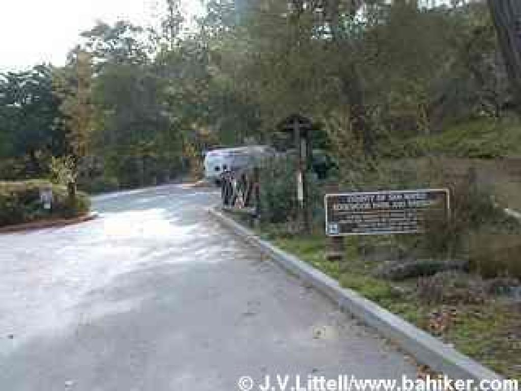
From Interstate 280 in San Mateo County exit Edgewood Road, then drive east on Edgewood for about 1 mile. The entrance is on the south (right) side of the road, just past Edmonds Road.

GPS Coordinates* for Trailhead:
Latitude 37°28'23.21"N
Longitude
122°16'41.42"W
(* based on Google Earth data, shown as degrees, minutes, seconds)

Gas, food, and lodging:
No services in the immediate area. No camping in the park.

Trailhead details:
There's a paved parking lot as soon as you turn off Edgewood, and a smaller paved lot inside the gate, with room for 13 cars. There is one designated handicapped parking space, and the trails are wheelchair accessible as far as the picnic area. No entrance or parking fees. An information board on the west side of the inner lot has maps. Restrooms are located near the picnic area, south of the parking lot. There are three other (minor) trailheads: at the junction of Edgewood and Cañada Roads, at the junction of Sunset and Hillcrest Ways, and on Cañada Road just south of where Cañada Road crosses under 280, at the southwestern corner of the preserve. These trailheads offer access to the Crystal Springs Trail and the western portion of Edgewood. There is no direct public transportation to the park.

Rules:
Sylvan Loop is designated hiking only, and all other trails are open to equestrians and hikers. No bikes. No dogs (a good alternative is Pulgas Open Space Preserve). Park hours vary seasonally. Gates open at 8 a.m. and close around dusk.

The Official Story:
CSMPD's Edgewood page
Park office 650-368-6283

Map & book choices/More information:
• Use AAA's San Francisco Bay Region map to get there.
Map from CSMPD
60 Hikes within 60 Miles: San Francisco, by Jane Huber (yup, that's me, the creator of this website) has a simple map and a featured hike. Order this book from Amazon.com.
Afoot and Afield: San Francisco Bay Area, by David Weintraub (order this book from Amazon.com) has a great map and descriptions of an Edgewood hike.
• The Trail Center's Trail Map of the Central Peninsula is my favorite map of the park (order this map from Amazon.com)
Peninsula Trails, by Jean Rusmore, has a simple map, preserve descriptions, and suggested hikes (order this book from Amazon.com).
• Tom Taber's The Santa Cruz Mountains Trail Book has a simple map and preserve description (order this book from Amazon.com).
Friends of Edgewood website.

Edgewood in a nutshell -- a printable, text-only guide to the featured hike.

Photos:
View photos from this hike (shorter 2.91 mile Sylvan Loop)
View photos from this hike (longer 4.16 mile Sylvan and Serpentine Loop)
View a few springtime photos of the park


<SCRIPT type=text/javascript> </SCRIPT> <SCRIPT src="http://pagead2.googlesyndication.com/pagead/show_ads.js" type=text/javascript> </SCRIPT> <SCRIPT src="http://pagead2.googlesyndication.com/pagead/expansion_embed.js"></SCRIPT> <SCRIPT src="http://googleads.g.doubleclick.net/pagead/test_domain.js"></SCRIPT> <SCRIPT src="http://pagead2.googlesyndication.com/pagead/render_ads.js"></SCRIPT> <SCRIPT>window.google_render_ad();</SCRIPT> <IFRAME id=google_ads_frame1 style="LEFT: 0px; POSITION: absolute; TOP: 0px" name=google_ads_frame marginWidth=0 marginHeight=0 src="http://googleads.g.doubleclick.net/pagead/ads?client=ca-pub-8722102673606492&dt=1237416012558&lmt=1225295249&output=html&slotname=1848235971&correlator=1237416012558&url=http%3A%2F%2Fwww.bahiker.com%2Fsouthbayhikes%2Fedgewood.html&ref=http%3A%2F%2Fwww.google.com%2Fsearch%3Fsourceid%3Dnavclient%26ie%3DUTF-8%26rlz%3D1T4ADBF_enUS287US288%26q%3Dedgewood%2Bpark&frm=0&ga_vid=1312686691.1237416013&ga_sid=1237416013&ga_hid=976609978&flash=10.0.22.87&u_h=900&u_w=1440&u_ah=872&u_aw=1440&u_cd=32&u_tz=-420&u_his=11&u_java=true&dtd=109&w=120&h=240&xpc=vbxjFIwT8R&p=http%3A//www.bahiker.com" frameBorder=0 width=120 scrolling=no height=240 allowTransparency></IFRAME>

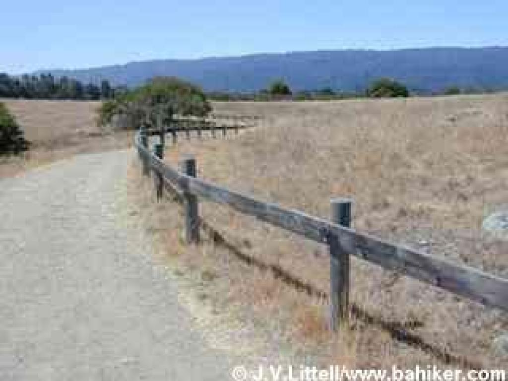
Edgewood is a small block of land in Redwood City,Trailhead bumping up against Interstate 280 to the west, and a residential neighborhood to the east. Now a nature preserve and park, Edgewood was protected from development by the County of San Mateo in 1993. The preserve is frequently crowded with joggers and picnickers, and it's tough to achieve any sense of quiet nature with the almost constant sounds of highway traffic, the shriek of airplanes flying at low altitude, and the everyday buzz of chainsaws and dogs barking at the nearby houses. Still, this preserve is a short drive from San Francisco and peninsula communities, there are quiet places to be found, and the well-maintained, easy-to-hike trails make it a worthwhile escape destination for short hikes.
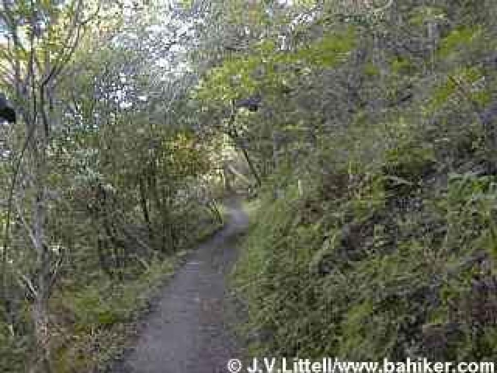
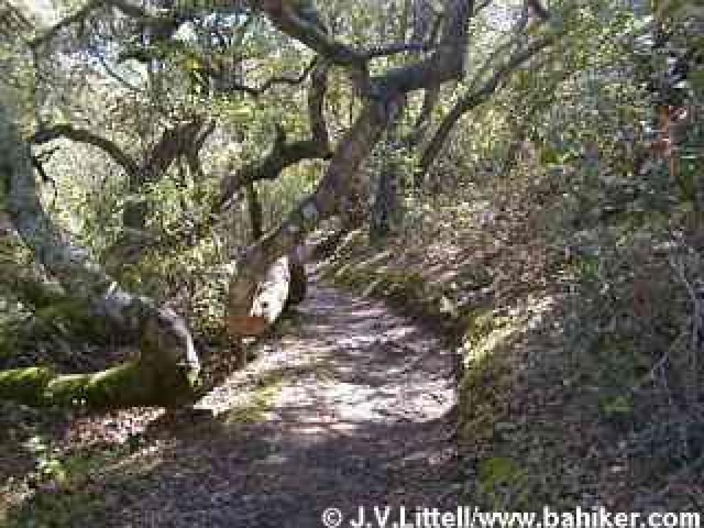
      Sylvan Trail getsSylvan Trail the most use in this preserve -- it's a 2.5 mile hiking-only loop that winds gently through a coast live oak and California bay woodland, ascending to an open grassland plateau and then descending back down to the picnic area. This loop has mileage markers every half mile and is well graded, so it is an excellent exercise path, and an easy trail if you are feeling out-of-shape.
     Several loops are possible, and you can vary your hikes by entering the preserve via the one major trailhead or any of the three other small staging areas. Combine legs of Serpentine Loop, Ridgewood Loop, and/or Sylvan Loop for a hike from 2 to 4 miles.
     Edgewood's western section, along 280, is mostly grassland. There are pockets of chaparral along Clarkia Trail, Sylvan Loop, and Ridgewood Loop, but most of Sylvan is shaded by coast liveSylvan Trail oaks and California bays. All this variety translates into a paradise for wildflower lovers in spring, when you'll see different blossoms in the woods, serpentine grassland, and chaparral. Late summer is also lovely, thanks to the preserve's copious amounts of poison oak, which turn flame red along the trails. Winter is often a muddy time to visit.
     For a just over 4-mile circuit of the preserve, walk from the parking lot south towards the picnic area, following the signs for Sylvan Trail. As the path rises slightly, you'll reach a signed T junction at about 200 feet (the path to the right heads towards the picnic areas, and the restrooms). Turn left on Sylvan Trail.
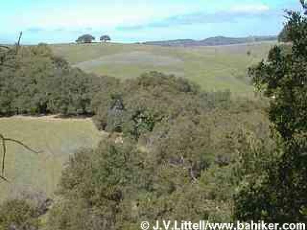
      Keep an eye out for the many runners who uses this trail, but cyclists and equestrians are prohibited. In late winter, blossoms from flowering plum trees litter the trail like confetti. Later in summer, the preserve's wild animals feast on the ripe fruit, and you might notice scat studded with plum pits. On one July hike I got a glimpse of a young coyoteView from Sylvan Trail, north just off the path here. Sylvan is mostly shaded from coast live oaks and California bays, with a few madrones and buckeyes. Honeysuckle vines dangle from the trees, bearing red berries in late summer and early autumn. At 0.17 mile, Sylvan Trail splits at an undersigned junction. Bear left.
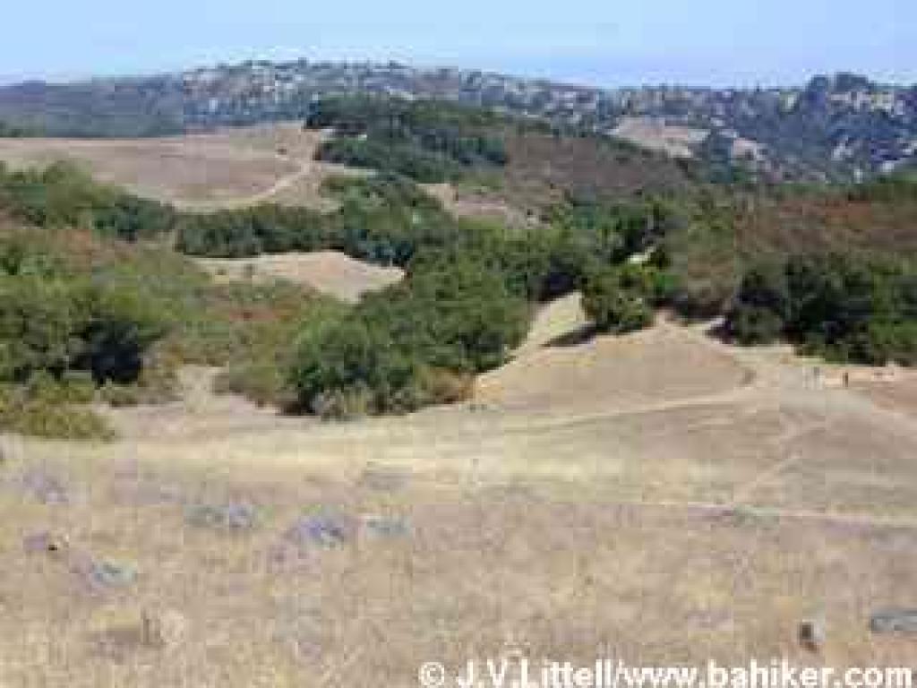
      In early spring, you may see woodland star, fat solomon, snakeroot, mission bells, and figwort. Hound's tongue, a prolific flower in late winter, may already be dangling seeds for next year's plants. After winter rains, there are two lovely small waterfalls, and the sound of running water will keep you company as you ascend along the trail, which is likely to be muddy. Maidenhair fern and creambush are common along the wettest sections of Sylvan Trail, but you'll pass through patches of chaparral as you gain elevation, where you might see monkeyflower, bush lupine, chamise, poison oak, clematis, blue elderberry, View north from Serpentine Loop Trailcoyote brush, sagebrush, hollyleaf cherry, and toyon. At 0.54 mile a closed trail spur breaks off from the left side of the trail. Continue to the right. In the dry months of summer red-leaved poison oak shrubs dominate the landscape; those "leaves of three" mingle with dry downed buckeye leaves, in sharp contrast to the lush green trailside vegetation of late winter and spring. As Sylvan Trail enters grassland, in early spring you might see dramatic stands of red Indian warrior, and the delicate purplish-blue blossoms of blue-eyed grass and bluedicks. California sagebrush and sticky monkeyflower grow here and there. Coast live oaks thin a bit, making room for some madrone, and a handful of white and blue oaks. Just past the 1 mile marker you'll reach a signed junction with Serpentine Loop Trail. Continue straight on Serpentine Loop Trail. (Option: you can shorten this hike to about 3 miles by turning right on SerpentineSerpentine Loop Trail Loop Trail. The narrow trail, open to hikers and equestrians only, steps under shade created by tall California bays, then reemerges in grassland. At 1.43 miles, turn right onto the service road and continue the featured hike).
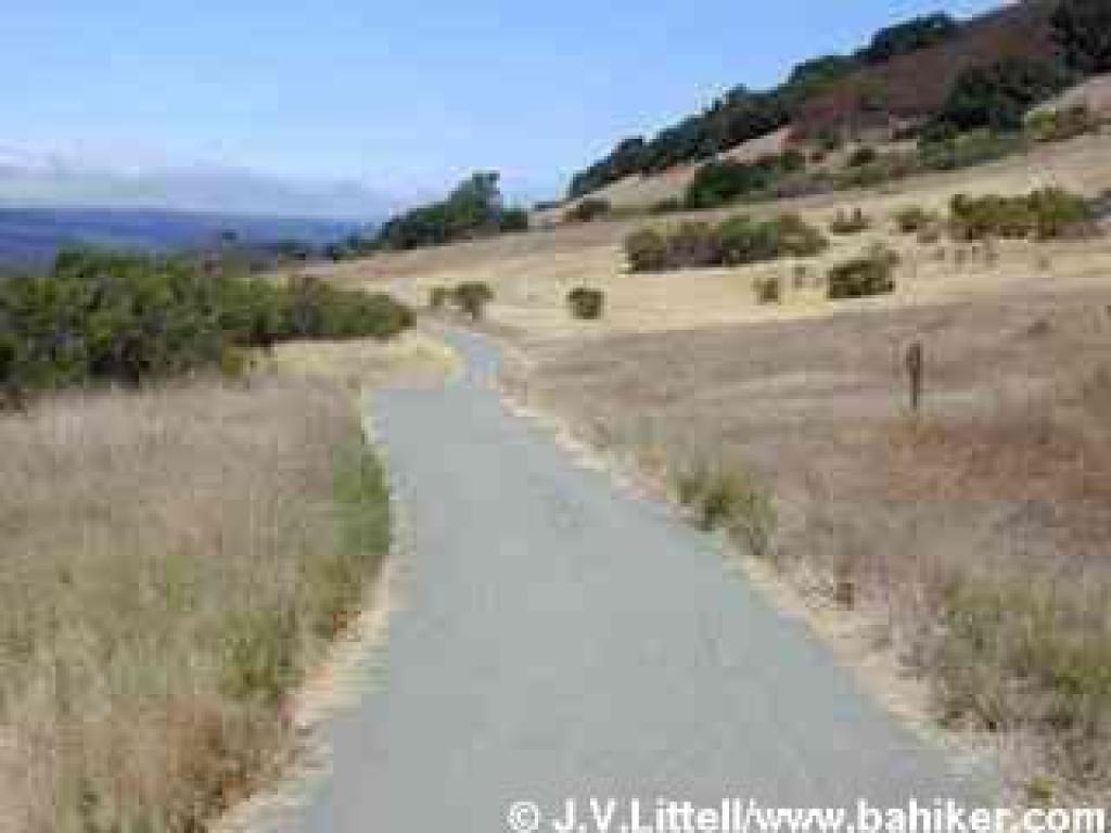
      Open to hikers and equestrians, Serpentine Loop Trail switchbacks up a grassy hillside. Take a moment to enjoy views north, past Edgewood's softly rolling hills to Pulgas, and east, where you should be able to pick out the shoreline of Bair Island. At a signed junction at 1.39 miles, Live Oak Trail heads off to the right. Continue straight on Serpentine Loop Trail.
     Fences protect the habitat along the trails, including the hillside to the right, which is scored with unsanctioned paths. When I hiked here in July I flushed a hawk off of a boulder and then, a moment later, scared away two deer. On more than one occasion in this section of the park I have watched a huge jackrabbit bound off into the grassland. Look to the left for good displays of fragrant fritillary in March. The trail winds slightly uphill to aSerpentine Loop Trail signed junction at 1.55 miles. Turn right and remain on Serpentine Loop Trail.
     In spring, the sides of the trail are carpeted with native wildflowers that thrive in the serpentine soil. You might see owl's clover, blue-eyed grass, bluedicks, goldenfields, creamcups, tidytips, larkspur, checker-bloom, and many more. This is one of the best, and most accessible locations for wildflowers in the bay area, and is also home to endangered butterflies. Serpentine Loop Trail gently descends to the west, with nice views to the forested slopes of the Santa Cruz Mountains. At 1.77 miles, a connector to Clarkia Trail sets off to the left at a signed junction. Turn right on Serpentine Loop Trail.
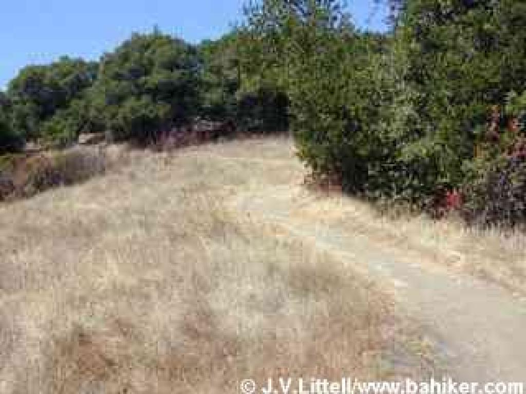
     The trail skirts the chaparral-studded slopes of Edgewood's highest hill. Sporadic clumps of coyote brush, California coffeeberry, poison oak, toyon, and gooseberry line Serpentine Loop Trail. Park staff has been mowing the grassland, an attempt to contain a yellow star thistle invasion, and several interpretive signs explain the project. Traffic noise from Interstate 280 is unavoidable, and as you head north vehicles are visible as well. Service RoadAt 2.38 miles, you'll reach a signed junction and information kiosk. The trail to the left leaves the park and passes under the highway, leading to Edgewood Road (and continuing to Cañada Road). Continue straight on Serpentine Loop Trail.
     Two junctions are reached in quick succession. The first, at 2.43 miles, heads uphill to the right to Ridgeview Trail. Next comes Edgewood Trail, to the left at 2.57 miles. Continue straight on Serpentine Loop Trail at both junctions.
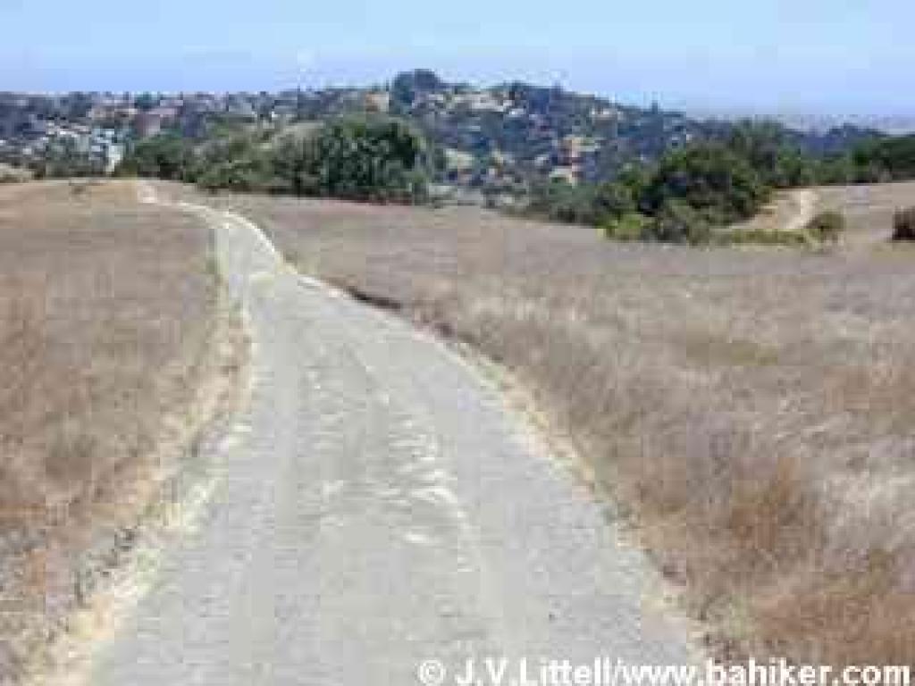
     The wide trail curves east and climbs gently, reaching a flat grassland plateau. At 2.83 miles, Serpentine Loop Trail veers right at a signed junction with the Service Road (identified as Old Stage Road on some maps). Bear left onto the Service Road.
      The broad dirt trail is open to hikers and equestrians only. In spring, the grassland is full of blooming wildflowers, including pink farewell-to-spring, yellow California buttercups, suncups, and goldenfields, white popcorn flower, and orange California poppy. The Service Road heads downhill to the north, offering views to Pulgas Ridge. A sign encourages you to stay on the trail. At 3.12 miles, turn right at an unmarked junction (there's a post but no trail signs).
      The Sylvan Trailnarrow path winds along the edge of the meadow, past a large rock outcrop, and joins Sylvan Trail at 3.34 miles. Take Sylvan Trail left (east) towards the parking lot.
      Like the other leg of the loop, Sylvan Trail is open to hikers only. A gradual descent on switchbacks takes you back into the woods, mostly California bay and coast live oaks, with some madrone and buckeye. Look for prickly-stemmed gooseberry, toyon, and in the spring, zigadene, hound's tongue, and shooting stars growing close to the ground. As I hiked downhill here in July 2001, an emergency vehicle, siren blaring, could be heard on nearby Edgewood Road. As the siren screamed, a coyote (close by but obscured by the woods) responded, with a distinctive yip and then howl. At the previously encountered junction, at 2.71 miles, take the trail left and retrace your steps to the parking lot.

Total distance: 4.16 miles

  • ?
    mysong 2009.03.25 22:14
    가끔 지나다니면서 한번 가봐야지 생각만 하다가 오늘 오후에 시간이 있길래 집을 나섰죠.
    정말 근사한 곳이더군요. 오후 늦은 시간이어서인지 사람들은 꽤 있는 편이었지만, 짜투리 시간 활용으로 아주 좋은 곳입니다. 가벼운 산책이나 조깅으로... 280이 가까이 있어 차소리는 좀 많이 나는 편이더군요.
    좋은 정보 감사합니다.
  • ?
    바다 2009.03.26 11:16
    저도 가까운 곳에 이리 좋은 조깅 코스가 있는 줄 모르고 맨날 쿠퍼티노 란쵸 산안토니오까지 갔었는데, 얼마전 백인 친구들이랑 조깅하면서 알게됬어요. 이 동네 사는 사람들이라 그런지 잘알고 있더라구요.

    알았으면 진즉 자주 갔을 텐데...

    저는 산 정상에서 ( 정상이라기에 는  너무 가볍지만) 바라본 포스터 시티와 산마테오 다리 풍경이 너무 예뻤고, 반대쪽으로 보는 280 쪽 산경치도 좋았어요.

    그래도 트레일을 전부 왔다갔다 하면 꽤 운동이 되었어요

  1. 우중 산행에 대한 추억

    어젠 일이 있어 Tamalpais 우중 산행을 빠지고 샌프란에 있었는데, 보슬비 내리는 Golden Gate Park 에 만개한 Rhododendron 이 옛날 추억에 잠기게 한다. 그 산...
    Bymysong Reply2 Views4160 file
    Read More
  2. No Image

    앙환우 걷기대회

    ;주최 ; 암한우동우회 한인 건강교육센터 장소; 샌프란시스코 골든게이트공원 뮤직컨커스밴드쉘 50 tea garden dr,sf.ca94118 일시;4월25일 9시 참가비 ; 20불 티...
    Category제안 By파란하늘 Reply2 Views4389
    Read More
  3. No Image

    help 쪽지 보내기

    Help! "쪽지 보내기" 가 저는 찾을 수가 없네요. log in 한 후 id, 별 을 click 하면 4 가지 (쪽지함 보기, 친구 보기, 회원 정보, 작성 글 보기) 는 뜨는데........
    Byfancy Reply1 Views5378
    Read More
  4. No Image

    Yosemite-Half Dome‏

    아이언님께서 보내준 Yosemite-Half Dome 에 대한 자료입니다. 5월 산행에 도움이 됬으면 합니다..
    By산버찌 Reply0 Views6787 file
    Read More
  5. No Image

    정기산행시간 재조정에 대한 제안

    베이산악회의 한 회원으로서 다음을 제안합니다. 저희가 현재 오전 9시에 시작하는 정기산행을 Day light saving 기간 중에라도 융통성 있게 운영했으면 합니다. ...
    Category제안 By구름 Reply7 Views3802
    Read More
  6. No Image

    MedImmune Research Summer Intern Program – 2009(2 h...

    For high school and college kids: Research Summer Intern Program – 2009 Research will be hosting 6 student interns this summer (2 high school – rising ...
    By바다 Reply1 Views18033
    Read More
  7. No Image

    Lift ticket Special

    혹시 관심 있으신분 계시면... 4월5일 (일) Lift ticket $25 (Reg $79) at Northstar-at-Tahoe http://www.tahoewomenservices.org/index.php?cId=5&eId=45 Lift ...
    Bysooji Reply1 Views7218
    Read More
  8. No Image

    Edgewood Park and Preserve,

    친구랑 가볍게 조깅을 한곳인데 경치가 너무 멋있어 추천합니다. 아주짧은 거리인데, 조용하고 사람도 별로 없지만 동네 산행으론 아주 적합한거 같습니다. 얼마...
    By바다 Reply2 Views115913
    Read More
  9. No Image

    노래 선물

    http://www.youtube.com/watch?v=86TSV8mc1PA&feature=related
    By바다 Reply3 Views5545
    Read More
  10. No Image

    파란하늘님 보세요

    파란하늘님, 아이디가 없으셔서 등록해 드렸습니다. 정회원으로 등록했으니 바로 쓰실 수 있을 듯 합니다. 한데, 제가 전화번호와 이메일 주소를 몰라서 못 썼습...
    By에코맨 Reply0 Views7095
    Read More
  11. 창넓은 모자... 여성회원분들 보세요

    http://www.gmarket.co.kr/challenge/neo_goods/goods.asp?goodscode=132032997&pos_shop_cd=SH&pos_class_cd=111111111&pos_class_kind=T&search_keyword=차단모...
    By일래잼 Reply1 Views13631 file
    Read More
  12. No Image

    느낌

    소리없이 어둠이 내리고 길손처럼 또 밤이 찾아오면 창강에 촛불밝혀 두리라 외로움을 태우리라 나를 버리신 내님 생각에 오늘도 잠뭇 이뤄 지새우며 촛불만 하염...
    By강산 Reply3 Views5322
    Read More
  13. No Image

    [건강]하루에 15분 걸어야 하는 이유

    좋은 정보가 있기에 퍼 와봤읍니다.. ^^ < 1..... 행복 호르몬이 분비된다... 산책은 15분 이상 할것, 걷기 시작한 15분 뒤부터는 " 뇌 속에 모르핀" 이라고 불리...
    By쵸코파이 Reply1 Views3646
    Read More
  14. No Image

    The Backcountry Weekend at Coe Park

    http://www.coepark.org/orestimba.html 헨리 코 주립공원이 일년에 한번 남쪽 (길로이 152번도로쪽) 입구를 개방한답니다. 개방예정일은 4/24-26, 이 행사에 참...
    By초모룽마 Reply2 Views7328
    Read More
  15. 역시 베이 산악회 !

    오랫만에 산을 올라갔다. 산은 언제나 나를 환영하고 있다. 그런되 나는 두러움과 좁은 마음을 갖고 생활하고 있었다 오늘 산에 와보니 내자신이 부끄럽고 챙피했...
    By돌고래 Reply8 Views4797 file
    Read More
Board Pagination Prev 1 ... 158 159 160 161 162 163 164 165 166 167 ... 187 Next
/ 187