이번에 토요 산행지로 Big Sur쪽으로 공지를 올리려고 했었는데 오실 수 있는 분들이 많지 않은 것 같아서 다른 곳으로 공지합니다.
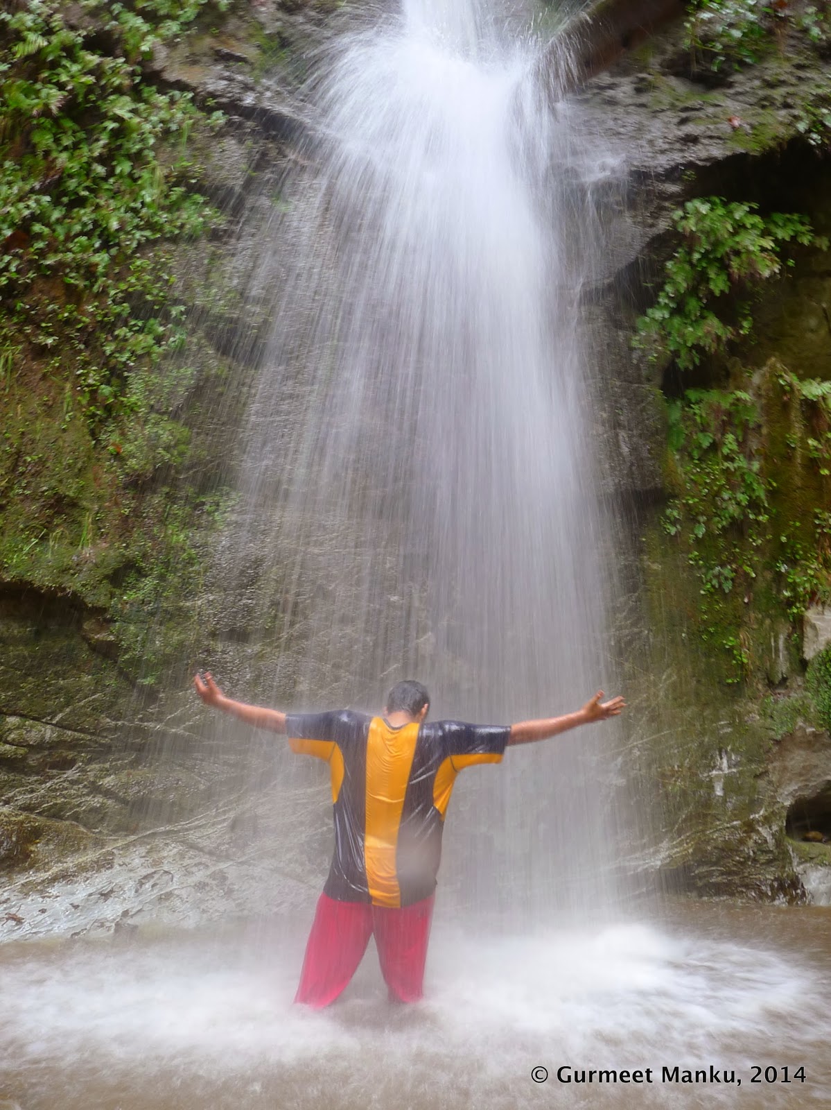
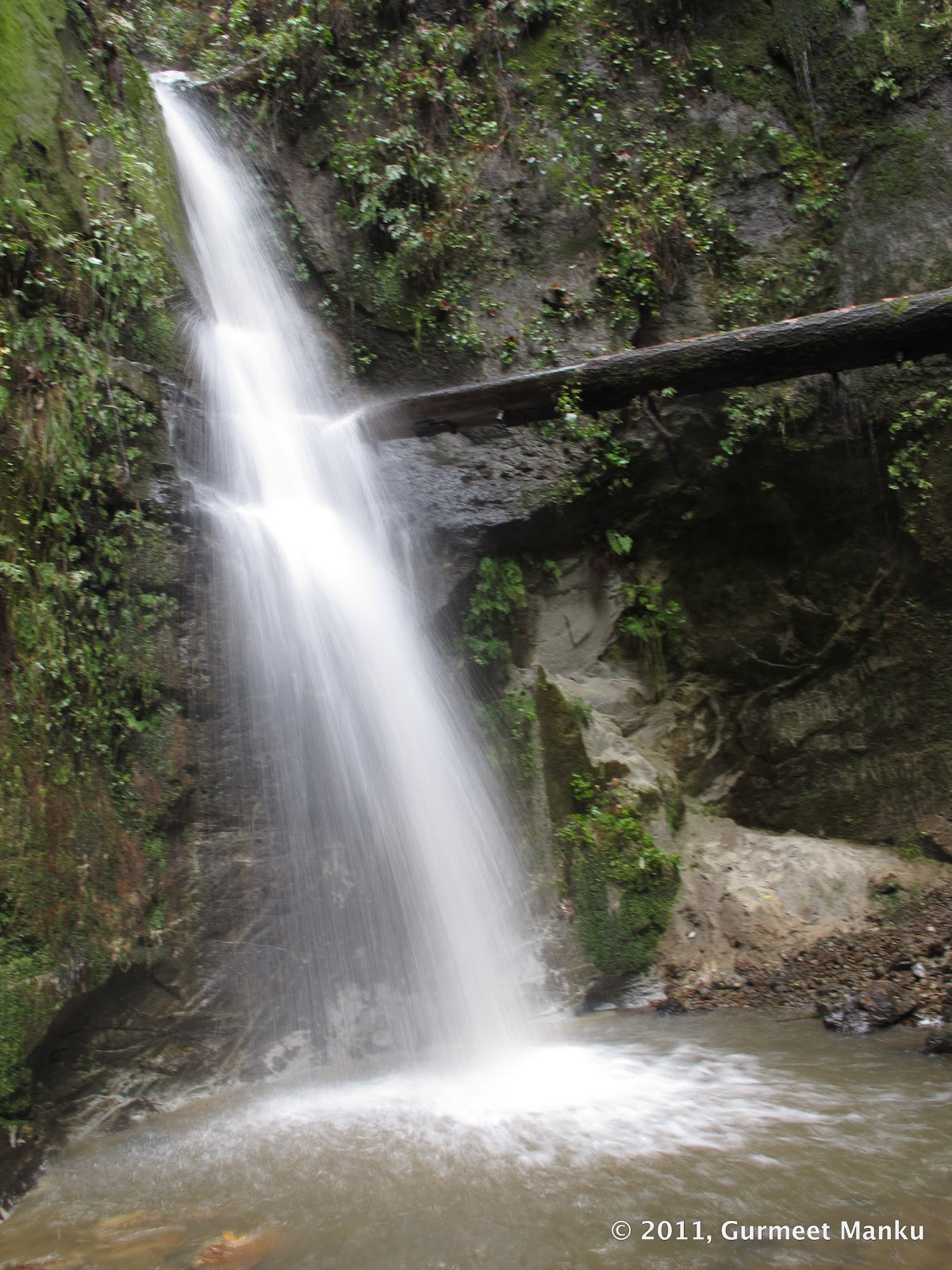
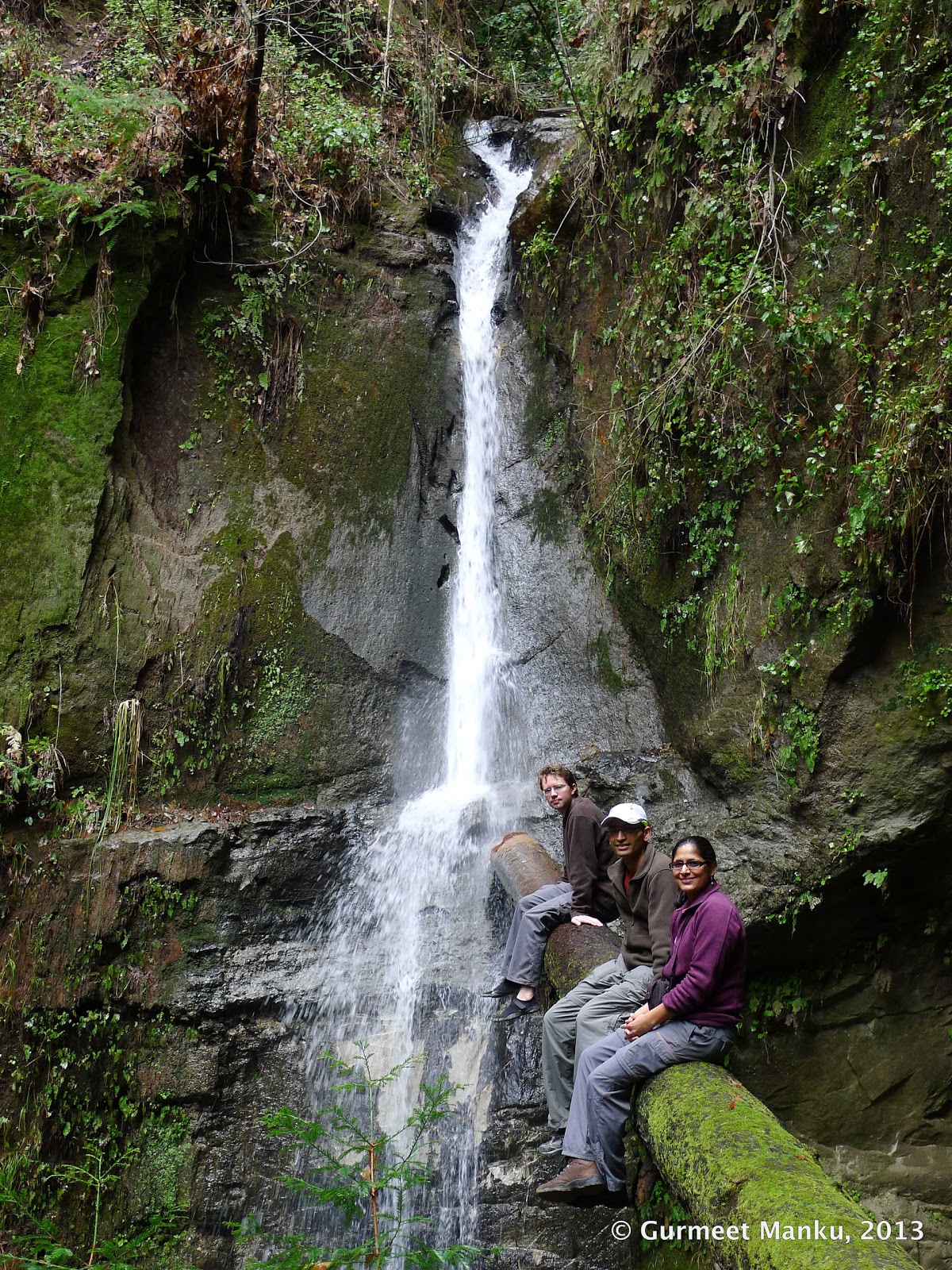
Maple Falls입니다.
날씨가 점점 더워지는 데 시원한 그늘에서 산행을 하고 맨 끝에는 폭포에 도달해서 점심을 먹는 것도 좋을 것 같습니다.
주차비가 있기때문에 가능하면, 조금 일찍 와서 Aptso의 자전거 가게 주변에 길거리 파킹을 하고 같이 카풀로 이동해도 좋을 것 같습니다.
자전거 가게 주소는: <Epicenter Cycling,> 8035 Soquel Dr., Aptos, CA 95003입니다.
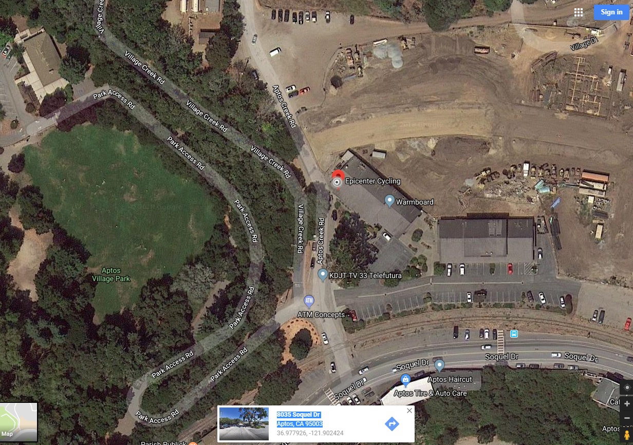
산행지 트레일 헤드 찾아오는 길: https://goo.gl/maps/NjMrTpcitdn
1227-1519 Aptos Creek Fire Road, Aptos, CA 95003; 좌표: 36.997309,-121.906507
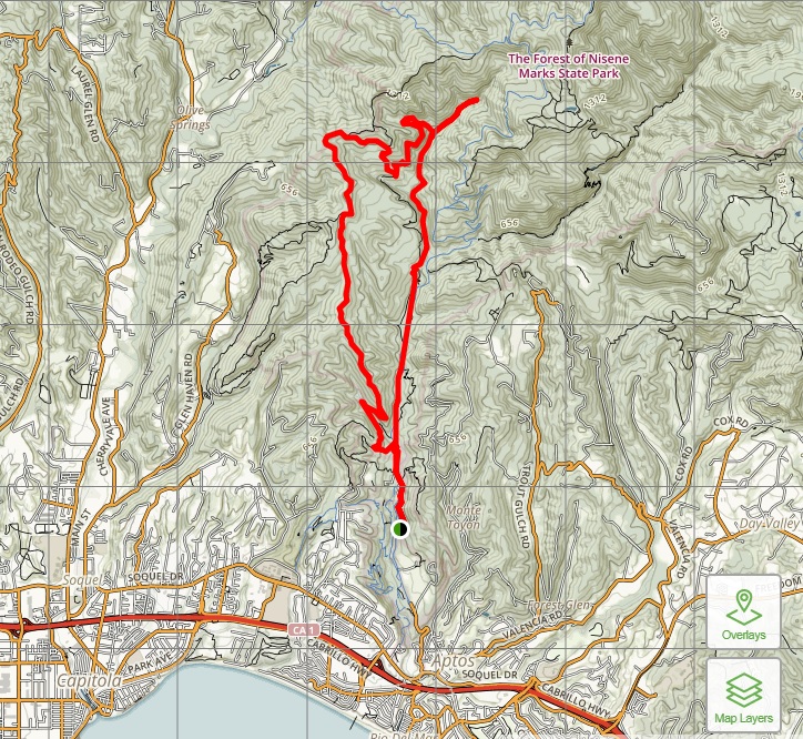
트레일 지도: https://www.alltrails.com/explore/map/maple-falls-from-bridge-creek-trail-west-ridge-trail
GPX: Maple Falls (From Bridge Creek Trail -West Ridge Trail).gpx
산행 경로는 Bridge Creek Trail로 올라가서 West Ridge Trail로 내려 옵니다.
Maple Falls 사진 (from Goole Images):
