2024년 9월 21일 툐 맑음
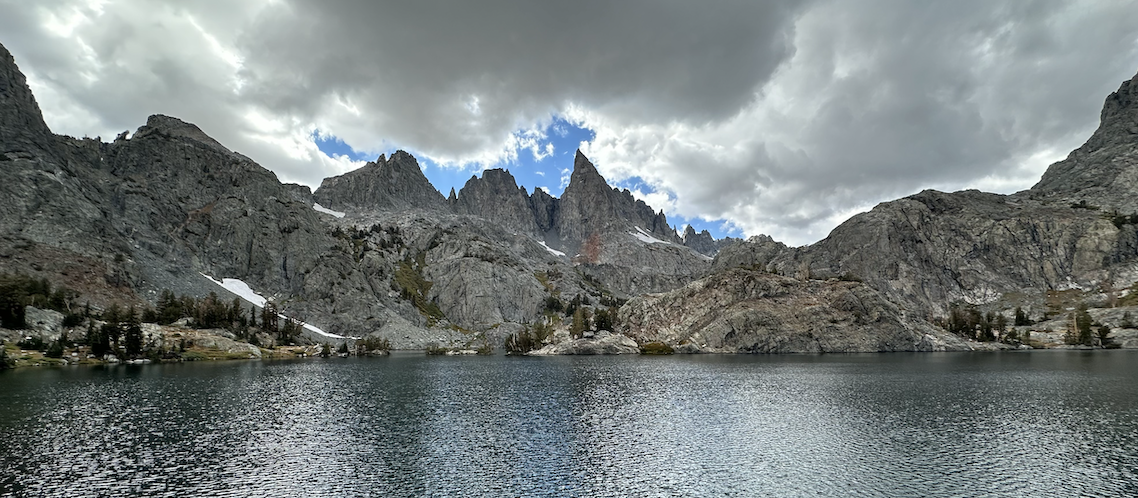
한국에서 온 친구한테 꼭 Minaret Lake를 보여주고 싶었다. 그러나 Google 해보니 Temporary closed 되었다고 빨간색 경고가 뜬다. 두번째 옵션으로 Thousand Island를 정하고 지도를 보니 Silver lake에서 그렇게 멀지 않아 그곳으로 가본다. OMG! 지름길이 Private Territory 였다. 그곳으로 통과했다가는 총맞기 십상이다. 그냥 Minaret Vista Trail 만 가보기로 한다. 알프스에 Chamonix가 있다면, Sierra Nevada에는 Mammoth Lakes가 있다. 눈이 없는데도 Ski Lift는 운행중이다.

가는 길이 온통 공사중인데 토요일이라 쉬고있었다. 막상 가보니 Temporary closed는 해제되고 많은 차량들이 벌써 Devils Postpile로 몰리고 있었다. Mammoth Lakes의 도심을 지나 203번 도로를 타고 고도를 점점 높이며, 약 11km를 더 달려 Minaret Vista Ranger Station에 도착한다. Postpile Road는 다행히 열려있다. Minaret Vista Ranger Station옆 주차장에 주차를 하고, Redwood와 Sequoia trees 로 빽빽한 숲을 지나는 동안, 진한 나무 향이 코를 자극한다.
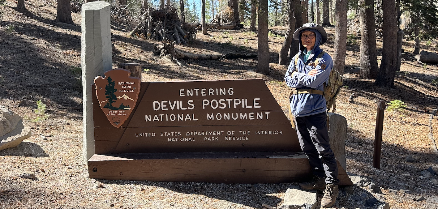
우리의 목적지는 Minaret Lake 이기때문에 Park Ranger 한테 물어본다. 지금 12시인데 호수까지 갔다올 수 있는지?. 그의 답은 왕복 10마일이라서 빠른 걸음이면 어두워지기 전까지 내려올수있다고 희망적인 설명을 해준다. 나중에 알게 된것인데 이 Ranger는 내가 Minaret Fall 까지 가는줄 알고 왕복 10마일이라고 답한 것이었다. 실제 거리는 18마일이었다. 그것도 오르막길. 만일 18마일이라는 것을 알았더라면 포기했을 것이다.
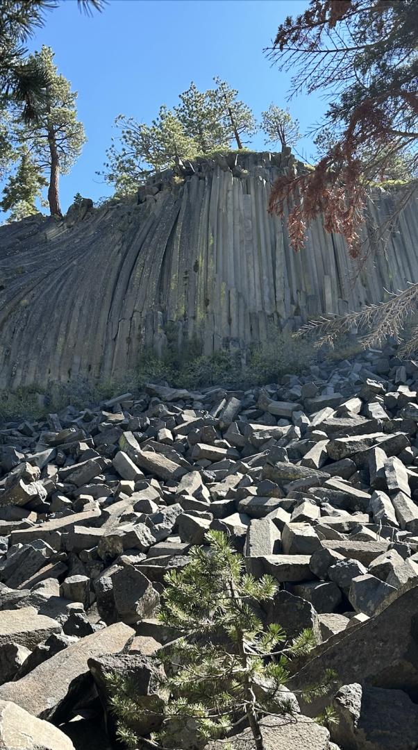
여기까지 왔는데 Devils Postpile을 포기할수없다. 기이한 지형을 친구한테 설명해주고 싶다.주상절리로 유명한 Devils Postpile National Monument국립 유적지 지역을 거쳐 가기로 한다.
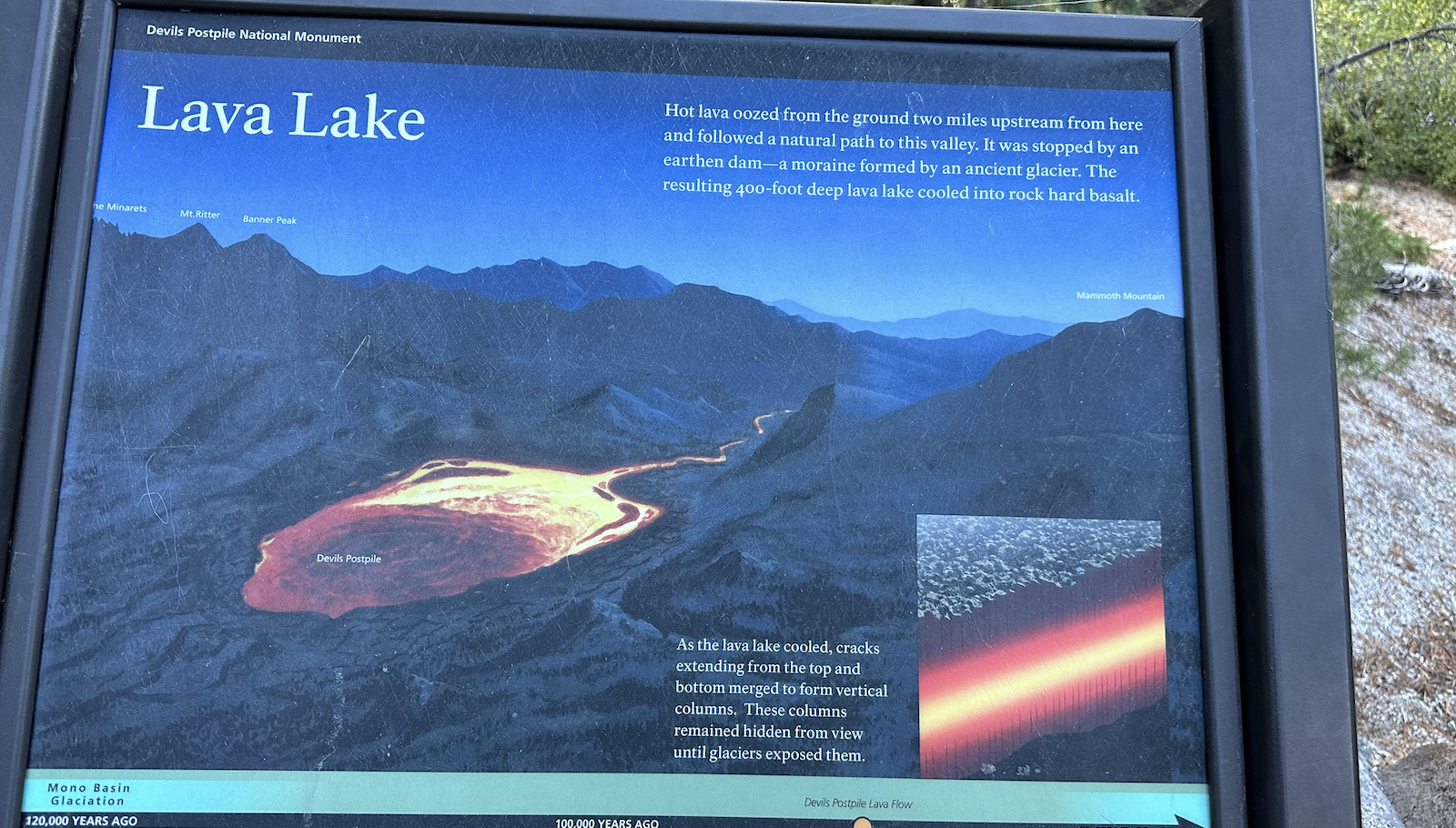
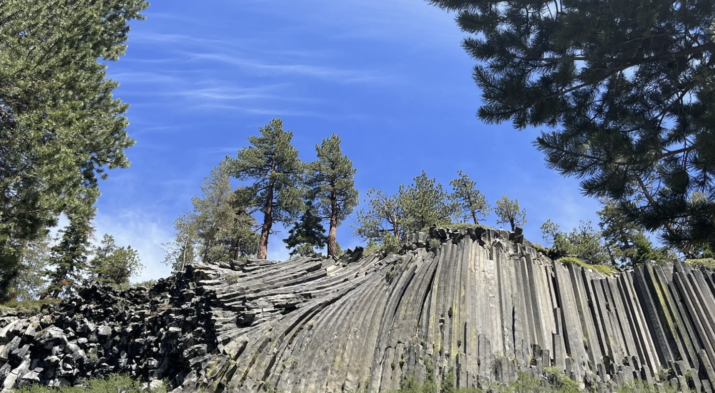
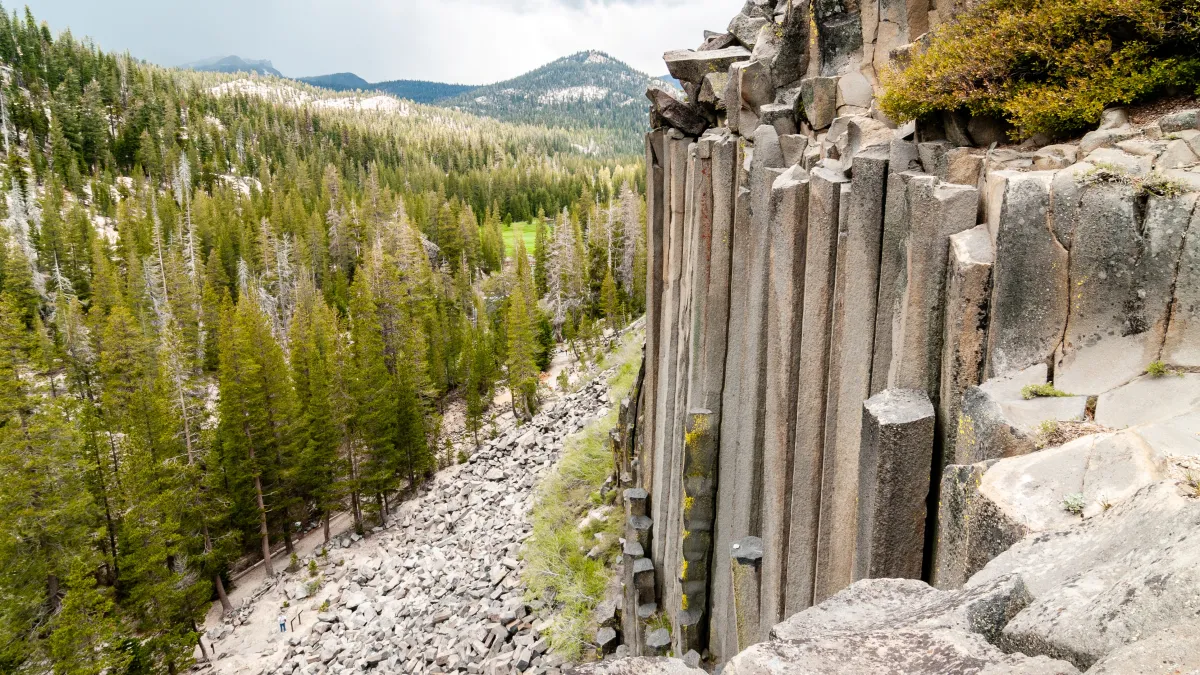
Hot lava oozed from the ground two miles upstream from here and followed a natural path to this valley. It was stopped by an earthen dam - a moraine formed by an ancient glacier. The resulting 400-foot deep lava lake cooled into rock hard basalt. As the lava lake cooled, cracks extending from the top and bottom merged to form vertical columns. These columns remained hidden from view until glaciers exposed them.
여기에서 2마일 상류에 있는 땅에서 뜨거운 용암이 흘러나와 이 계곡으로 가는 자연적인 길을 따라갔다. 그것은 고대 빙하에 의해 형성된 빙퇴석인 흙댐에 의해 막혔다. 그 결과 400피트 깊이의 용암 호수가 냉각되어 암석처럼 단단한 현무암이 되었다. 용암호가 냉각되면서 상단과 하단에서 뻗은 균열이 합쳐져 수직 기둥을 형성했다. 이 기둥은 빙하가 노출될 때까지 보이지 않게 숨겨져 있었다.
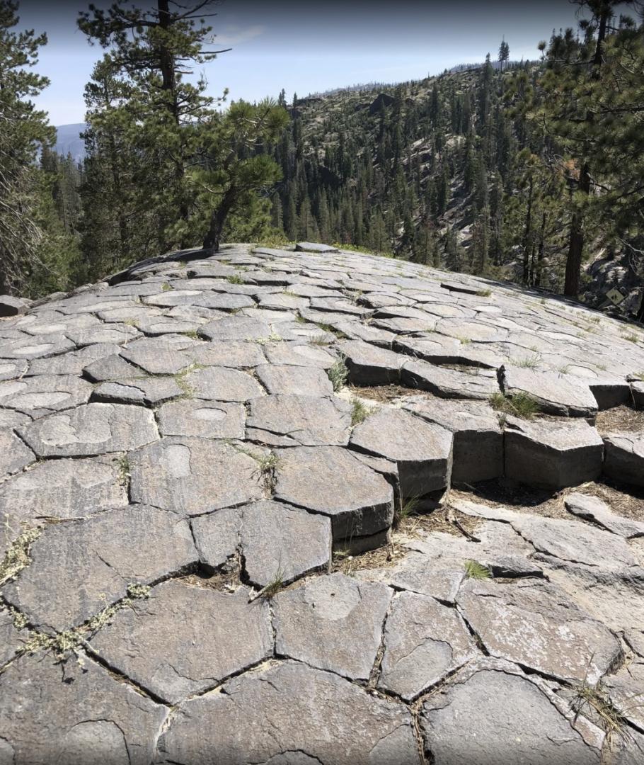
Shaped by Fire and Ice - Molten lava and glacial ice shaped these unusual rock columns. Basaltic lava more than 400 feet deep filled this narrow valley nearly 100,000 years ago. As the lava cooled, cracks formed on the surface to release built-up tension. These cracks formed into hexagons, one of nature's most efficient and stable shapes. /Formation of Columns - Surface cracks deepen to form long basaltic columns. /The cracks deepened as the. interior cooled to form basaltic columns. During the last ice age, about 20,000 years ago, a glacier exposed this cliff of columns polished the top surface. The postpile continues to be sculpted by weathering earthquakes that break and change the formation. When the cracks reached about 10 inches in length, they branched out at 120 degree angles to form hexagons.
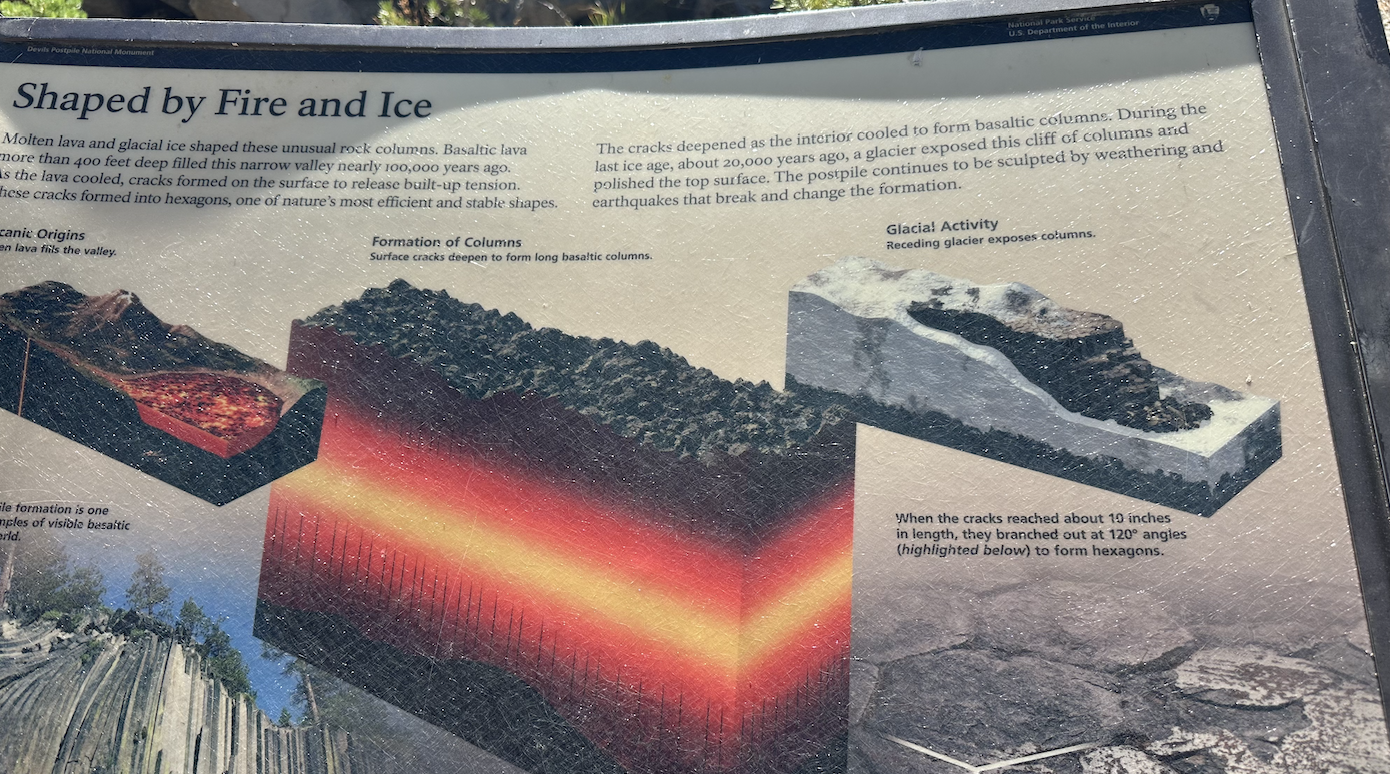
불과 얼음의 형태 - 녹은 용암과 빙하의 얼음이 이 특이한 암석 기둥을 형성했다. 거의 100,000년 전에 400피트가 넘는 깊이의 현무암 용암이 이 좁은 계곡을 채웠다. 용암이 냉각됨에 따라 표면에 균열이 생겨 축적된 장력이 완화되었다. 이러한 균열은 자연에서 가장 효율적이고 안정적인 모양 중 하나인 육각형으로 형성되었다.
기둥의 형성 - 표면의 균열이 깊어져 긴 현무암 기둥이 형성되고 갈수록 균열이 깊어졌다. 내부는 냉각되어 현무암 기둥을 형성했다. 약 20,000년 전인 마지막 빙하기 동안 빙하가 기둥 절벽을 노출시켜 윗면을 윤택하게 만들었다. 기둥은 지층을 파괴하고 변화시키는 풍화 지진에 의해 계속해서 조각되고 있다. 균열의 길이가 약 10인치에 도달하면 120도 각도로 갈라져 육각형을 형성한다.
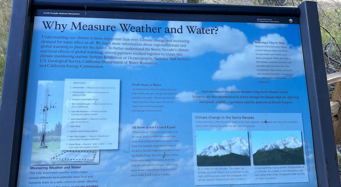
Watering a Thirsty State - Much of California's water begins as snow falling in these mountains. During winter, snow builds up to form a snowpack. When this melts it fills streams, nourishes the forest and provides water for farms and cities downstream. Years of low snowpack, and therefore less water, contributes to stressful conditions for plants, animals and people.
목마른 주에 물주기 - 캘리포니아 물의 대부분은 이 산에 내리는 눈에서 시작된다. 겨울에는 눈이 쌓여 스노우팩을 형성한다. 이것이 녹으면 하천을 채우고 숲에 영양을 공급하며 하류의 농장과 도시에 물을 공급한다. 수년간 눈이 적고 그에 따라 물이 적어 식물, 동물 및 사람에게 스트레스를 주는 환경이 조성된다.
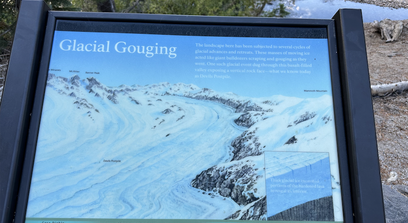
The landscape here has been subjected to several cycles of glacial advances and retreats. These masses of moving ice acted like giant bulldozers scraping and gouging as they went. One such glacial event dug through this basalt-filled valley exposing a vertical rock face-what we know today as Devils Postpile.
이곳의 풍경은 빙하의 전진과 후퇴를 여러 번 반복했다. 움직이는 얼음덩어리는 마치 거대한 불도저가 이동하면서 긁고 파내는 것처럼 작용했다. 이러한 빙하 사건 중 하나는 현무암으로 가득 찬 이 계곡을 파고 들어가 수직 암벽을 드러냈는데, 이는 오늘날 우리가 Devils Postpile로 알고 있는 것이다.


 'Trail of Time' in Grand Canyon 10/05/2024
 Half Dome 등반
Changing Landscapes - The Rainbow Fire that burned in 1992 began with a lightning strike three miles south of here. Strong winds, drought, and heavy surface fuels propelled the fire through 8,000 acres of forest. In response, a new community of plants and animals has moved in. Sun-loving ferns, herbs, and berries are food for a variety of animals, big and small. As the forest slowly returns, a diversity of plants and animals are taking advantage of a poductive, yet temporary gap in the forest.
변화하는 풍경 - 1992년에 발생한 Rainbow 화재는 이곳에서 남쪽으로 3마일 떨어진 곳에서 번개가 치는 것으로 시작되었다. 강한 바람, 가뭄, 두꺼운 지표면 연료로 인해 화재가 8,000에이커에 달하는 숲을 태워 버렸다. 놀랍게도 이에 대응하여 새로운 식물과 동물 군집이 들어왔다. 햇빛을 좋아하는 양치류, 허브, 베리는 크고 작은 다양한 동물의 먹이기 되었다. 숲이 천천히 돌아오면서 다양한 식물과 동물이 숲의 생산적이지만 일시적인 틈을 잘 이용하고 있다.
Climate Change in the Sierra Nevada - Global warming is affecting snow levels in the Sierra Nevada Snow levels are rising and snowmelt starts earlier, leaving less water for late summer and fall. / Air is colder at high altitudes. The higher the altitude, the more likely it is to snow than to rain. High, cold mountains store the snowpack until spring's warmer temperatures start to melt it. / Global warming causes warmer temperatures at all altitudes. As a result, in the mountains, rain falls rather than snow. Snowpack builds up only at higher elevations.
Sierra Nevada의 기후 변화 - 지구 온난화가 Sierra Nevada의 눈 수준에 영향을 미치고 있다. 눈 수준이 상승하고 눈이 더 빨리 녹기 시작하여 늦여름과 가을에 물이 덜 남게 된다. / 높은 고도에서는 공기가 더 차갑다. 고도가 높을수록 비보다 눈이 올 가능성이 더 높다. 높고 추운 산은 봄의 따뜻한 기온이 녹기 시작할 때까지 눈덩이를 보관한다. / 지구 온난화로 인해 모든 고도에서 기온이 더 따뜻해진다. 그래서 산에는 눈이 아닌 비가 내린다. Snowpack은 더 높은 고도에서만 쌓인다.
Reds Meadow
Many people passed through this area, making it part of a valuable trade route between tribes on both sides of the mountains. Deep snow and difficult winter travel kept this area from being settled permanently. Today, Paiute groups from the eastern side and Mono groups from the western side of the Sierra continue to value this protected landscape.
많은 사람들이 이 지역을 지나갔고, 이 지역은 산 양쪽의 부족들 사이의 귀중한 무역로의 일부가 되었다. 폭설과 어려운 겨울 여행으로 인해 이 지역은 영구적으로 정착되지 못했다. 오늘날 시에라 산맥 동쪽의 파이우트(Paiute) 부족과 서쪽의 모노(Mono) 부족은 이 보호된 풍경을 계속 소중히 여긴다.
In response to a proposal to blow up the Postpile formation and dam the San Joaquin River, President William Taft issued the proclamation creating Devisl Postplie National Monument on July 6, 1911, protecting the unusual formation and stunning Rainbow Falls for future generations to enjoy.
Postpile 형성을 폭파하고 San Joaquin 강을 댐으로 막으려는 제안에 대한 응답으로 William Taft 대통령은 1911년 7월 6일 Devils Postplie 국립 기념물로 제정하여 미래 세대가 즐길 수 있도록 특이한 형성과 놀라운 무지개 폭포를 보호하는 선언문을 발표했다.
A proposed trans-Sierra highway was stopped in 1972 after years of opposition by local residents, conservationist, and packers like the Roesers and Fitzhughs below. The expansion of surrounding wilderness areas in 1984 further ensured protection of the Reds Meadow Valley.
제안된 시에라 횡단 고속도로는 지역 주민들, 환경 보호론자, Roesers 및 Fitzhughs와 같은 배낭여행가들의 수년간의 반대 끝에 1972년에 중단되었다. 1984년 주변 야생 지역의 확장으로 Reds Meadow Valley의 보호가 더욱 보장되었다.
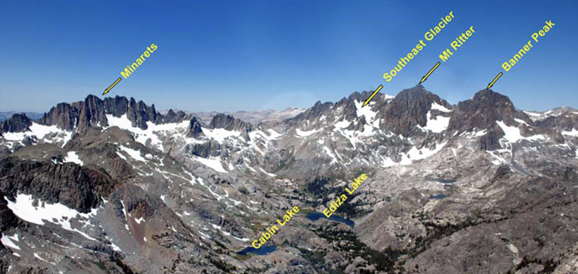
Sierra Nevada 산맥은 크게 National Park 지역과 National Forest 지역으로 행정구역이 구분되어 관리되고 있다. 다시, National Forest은 다수의 자연보호구역(Wilderness)으로 구분되어 행정 및 관리되고 있다. Ritter Mountains은 Inyo National Forest의 Ansel Adams Wilderness 에 속해 있는데, 특히 산악 레저 인프라가 잘 갖춰진 Mammoth Lakes 시에서 접근이 매우 용이하다.
395 도로는 Sierra Nevada 산맥을 따라 나란히 남북으로 나 있는, Sierra Nevada의 혈관과 같은 상징적인 도로이다. 395 도로는 Mono Lake 지역, Mammoth Lakes시, Owens Valley를 지나 Mount Whitney까지 이어지며, 남북을 가로 지른다. 1848년에 시작된 골드러쉬 시대에, 395 도로가 나 있는 이음 선이, 바로 동부에서 금을 찾아온 이들 ‘49ers’들을 서부로 이끌어 주었던 통로였다고 한다. 현재, 395 도로는 Sierra Nevada 산맥의 동쪽 지역의 Trail Head들로 이를 수 있는 도로일 뿐만 아니라, 남북으로 640km에 달하는 Sierra Nevada 산맥의 경관을 감상하며 달릴 수 있는 미국의 대표적인 scenic road중 하나이다.
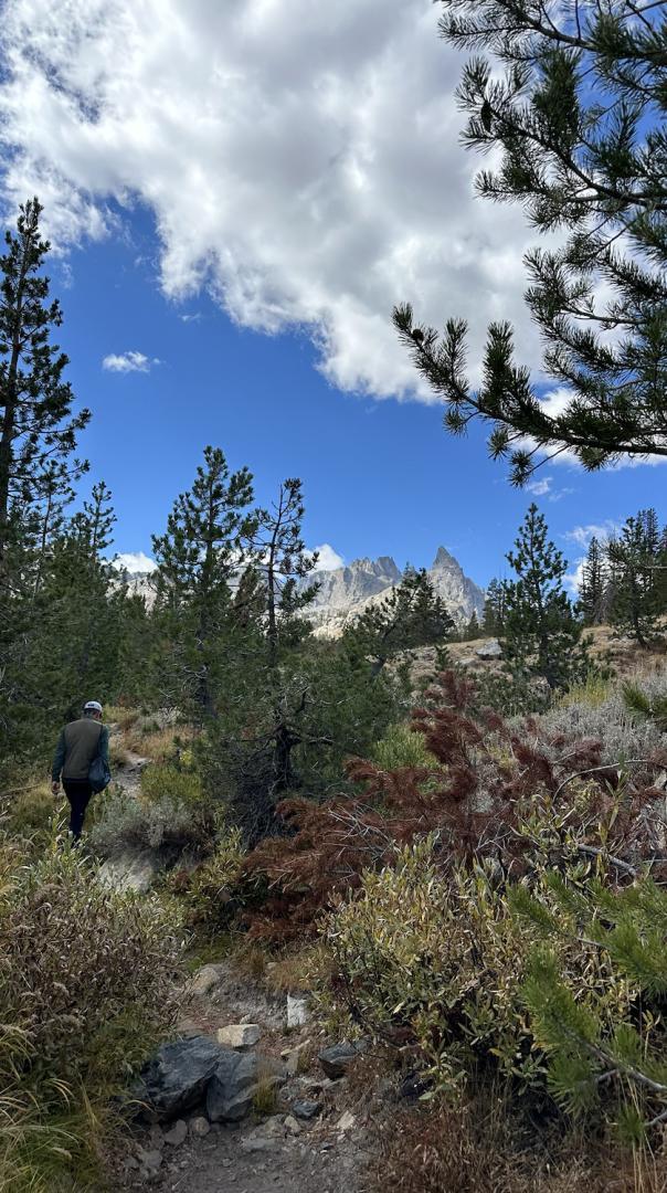
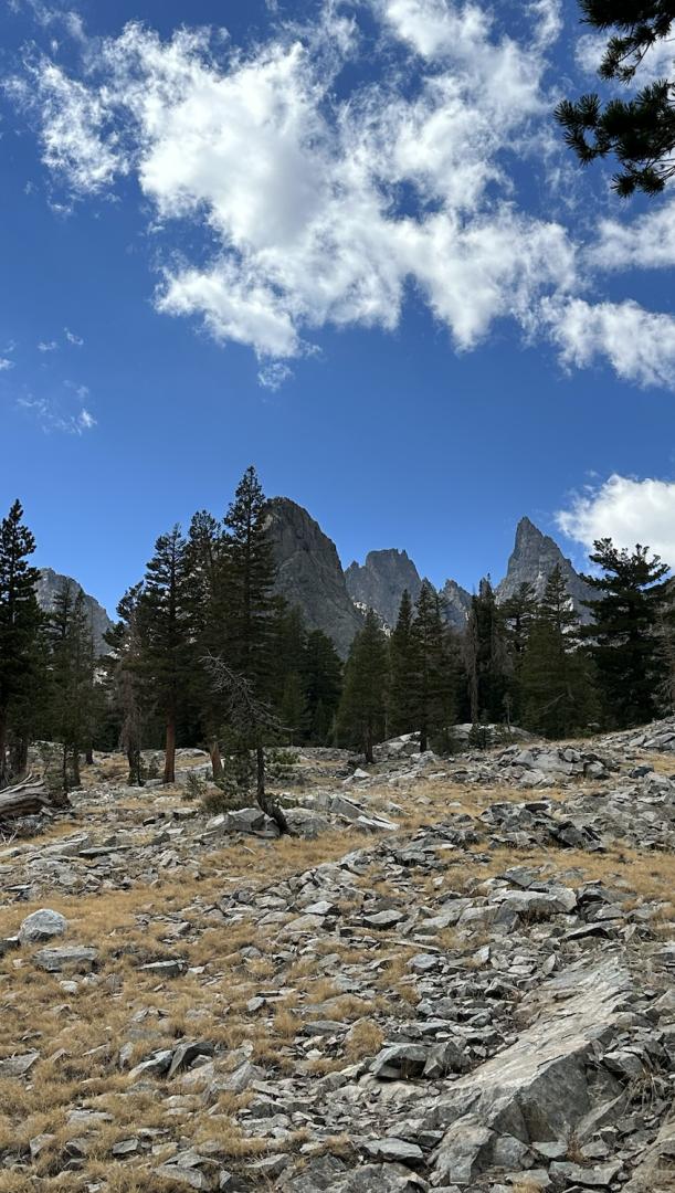
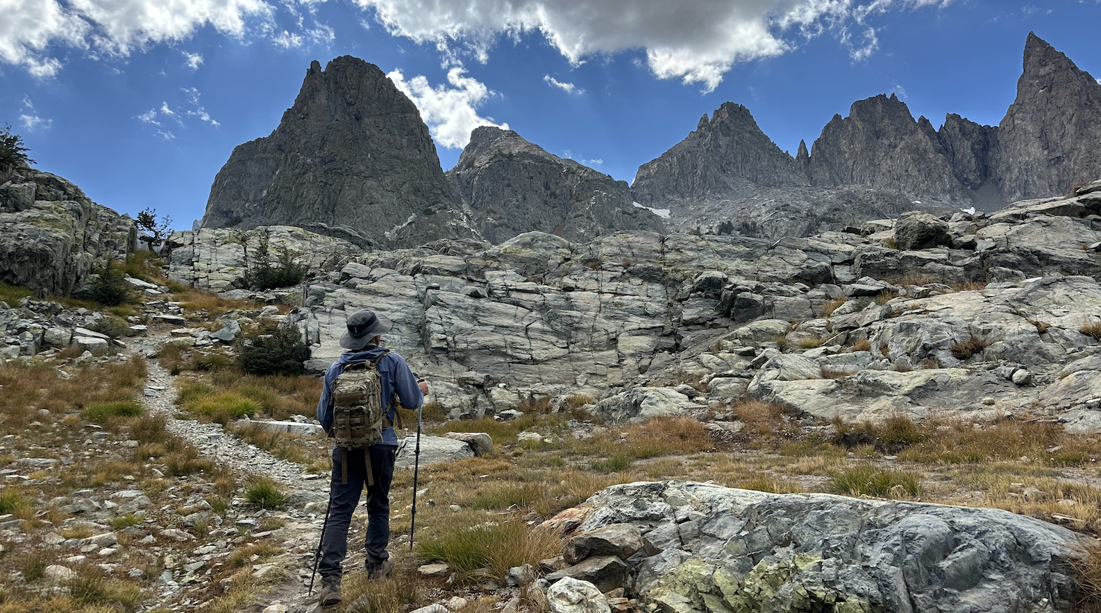
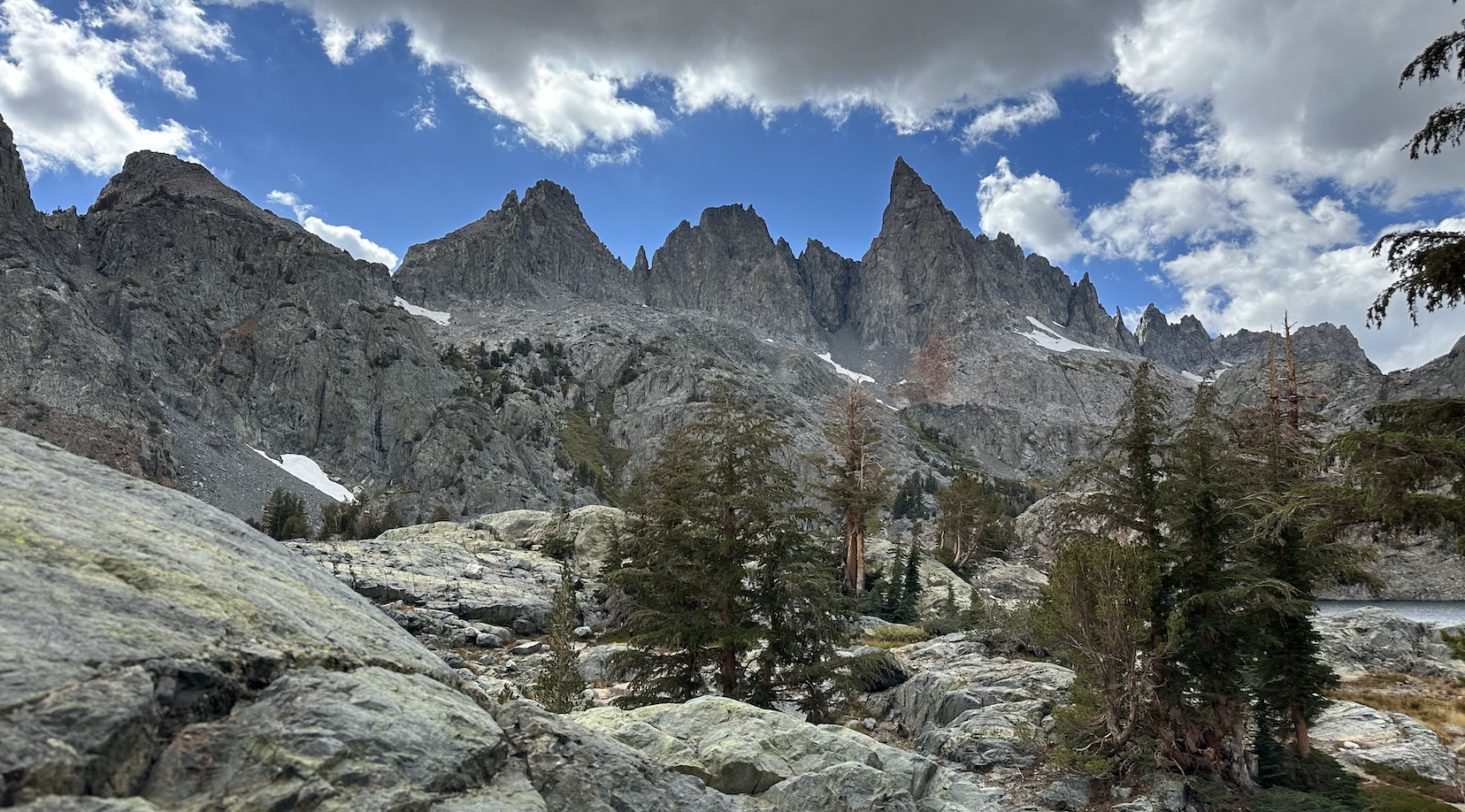
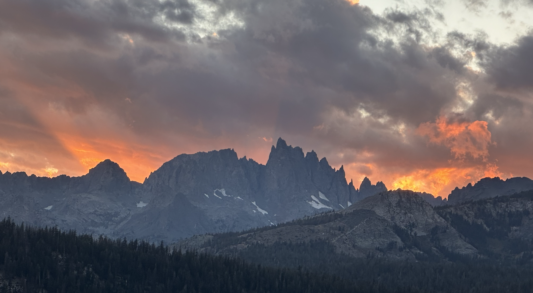
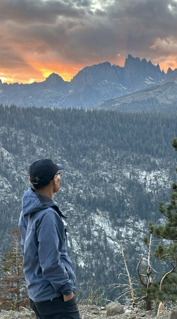
395 HW를 타면서 바로 저 Minarets 이 우리를 부르고 있는 모습이 보인다.
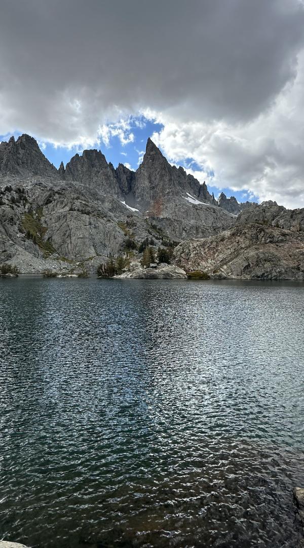
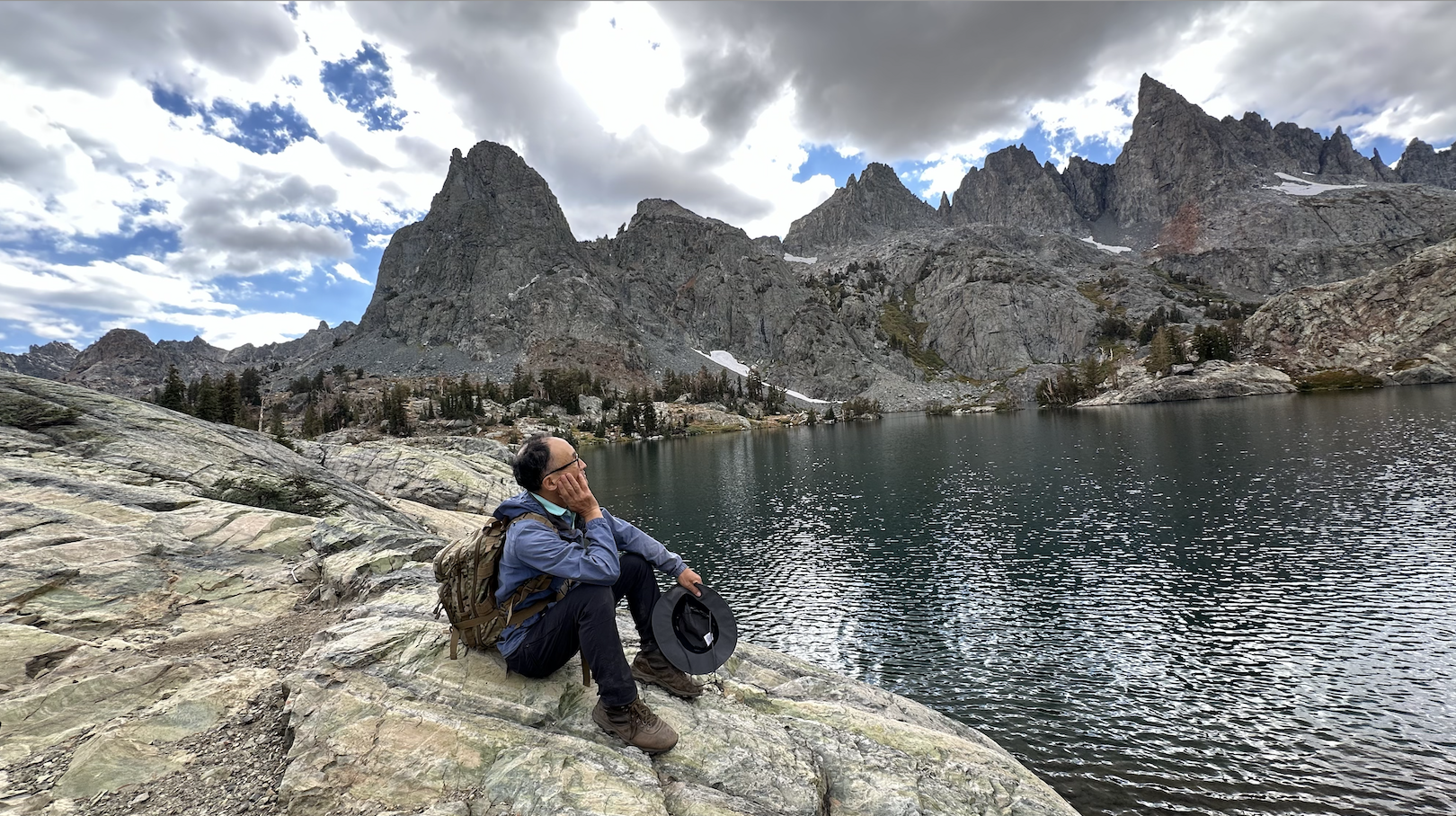
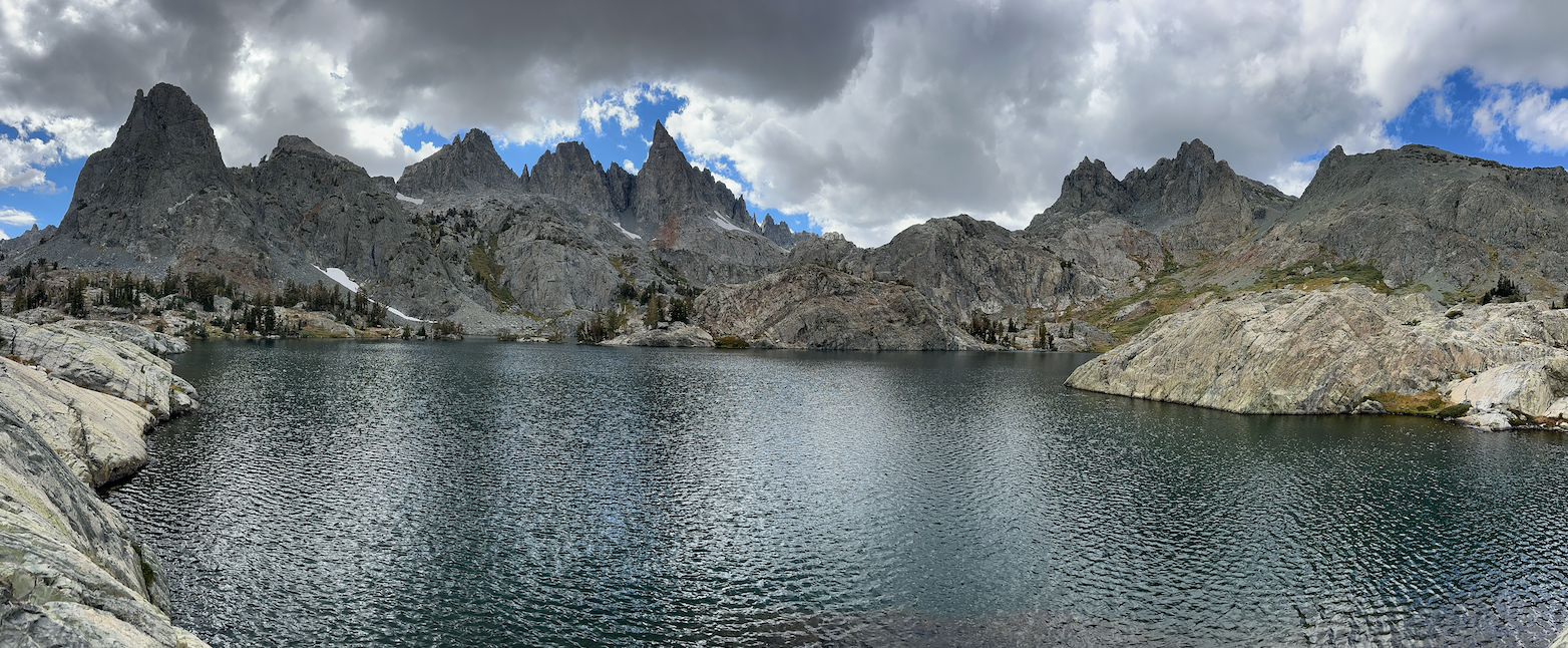
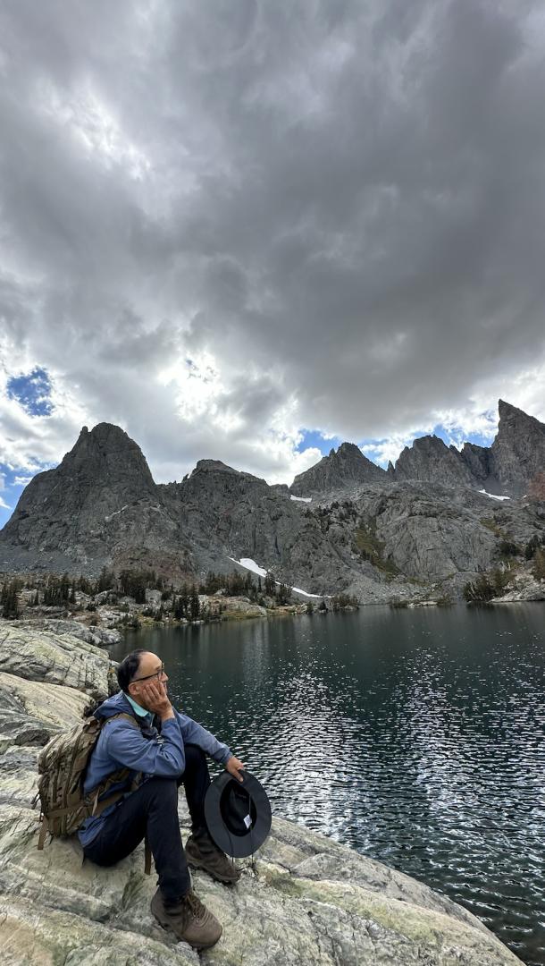
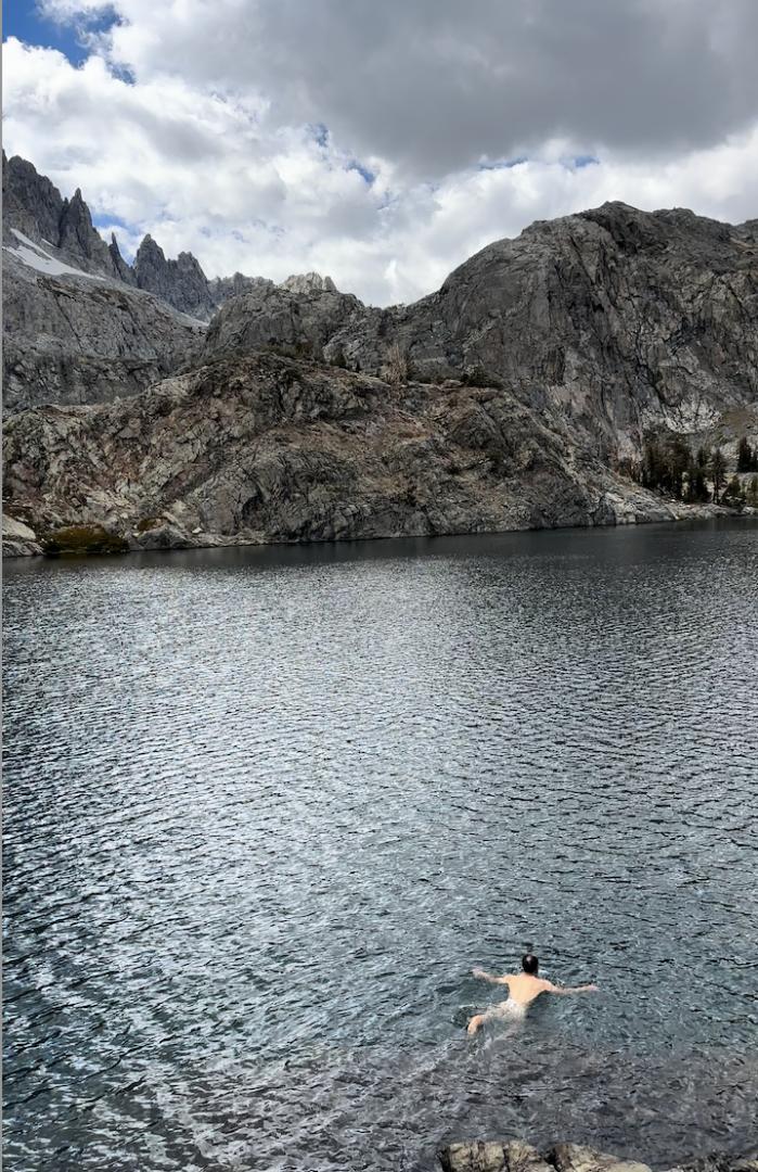
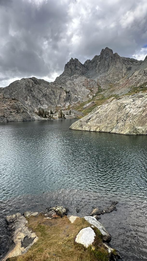
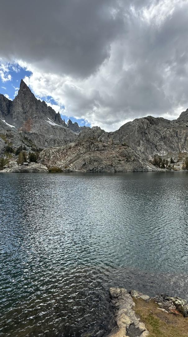
Mammoth Lakes를 Trail Head로, Ritter Mountains이 품고 있는 호수들을 차례차례 가 볼계획이다. Minaret Lake, Cecil Lake, Iceberg Lake, Ediza Lake, Thousand Island Lake, Catherine Lake, Garnet Lake and Banner Peak. 오늘은 우선 Minaret Lake다. Sierra Nevada 보석이며, 엔셀 아담스 자연보호구역(Ansel Adams Wilderness) 에서 가장 아름다운 곳을 뽑으라면 Minaret Lake가 아닐까한다.